Drive around Shirley today and you’ll still see glimpses of the way it used to be, when it was a fresh new seaside community promoted by its founder, Walter T. Shirley, as a “nice place to live. It was a haven for beaches, boating, and fishing—a vacation paradise that became a thriving community. It was originally called Mastic Acres and Tangiers after one of the area’s Colonial Settlers. Known as a “Town of Flowers,” it drew thousands from New York City starting in the 1950s with many of the original families still there to this day. Let’s take a look at Shirley’s early days courtesy of the photos collected by the Mastic Peninsula Historical Society.
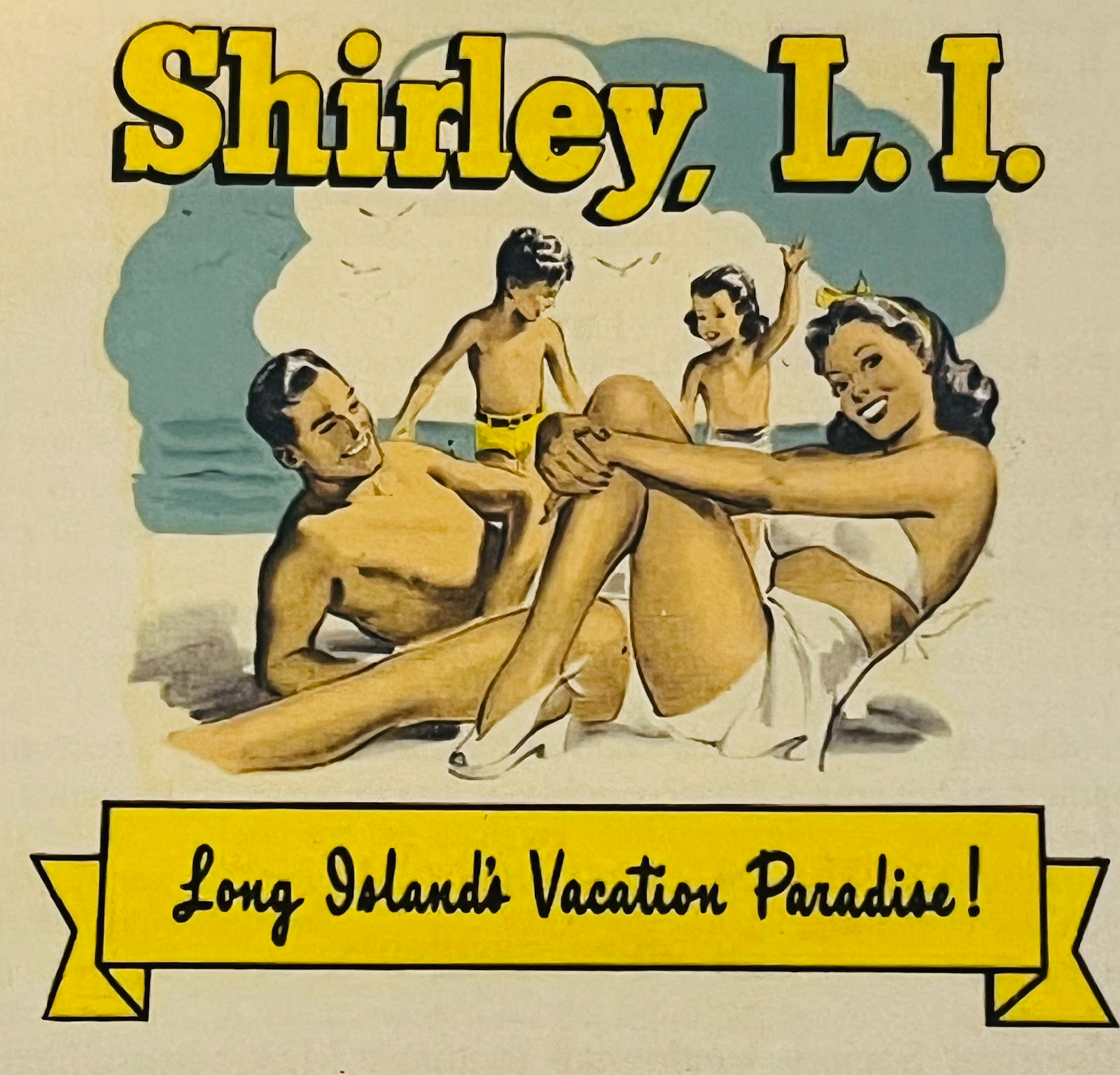
Early Shirley advertisement. Credit: Mastic Peninsula Historical Society.
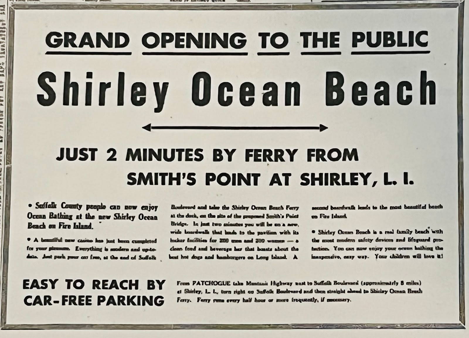
Early notice for Shirley Ocean Beach. Credit: Mastics-Moriches-Shirley Community Library.
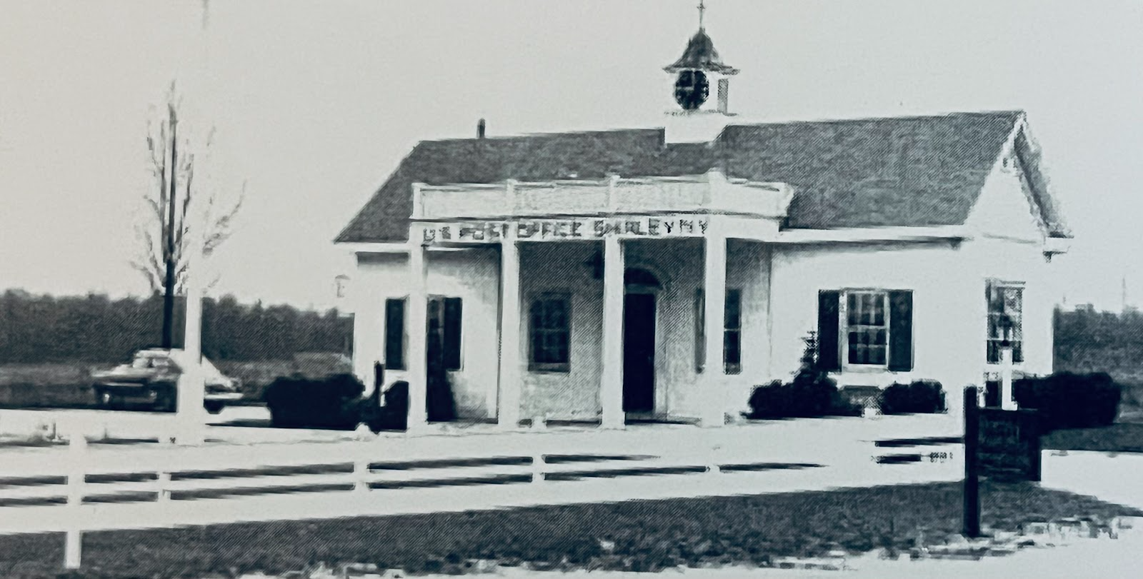
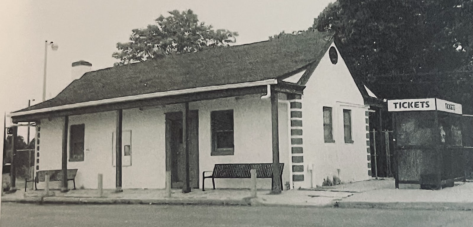
The first Shirley post office was located on the north side of Montauk Highway at the corner of William Floyd Parkway, which was called Camp Upton Road at the time. Credit: Mastics-Moriches-Shirley Community Library.
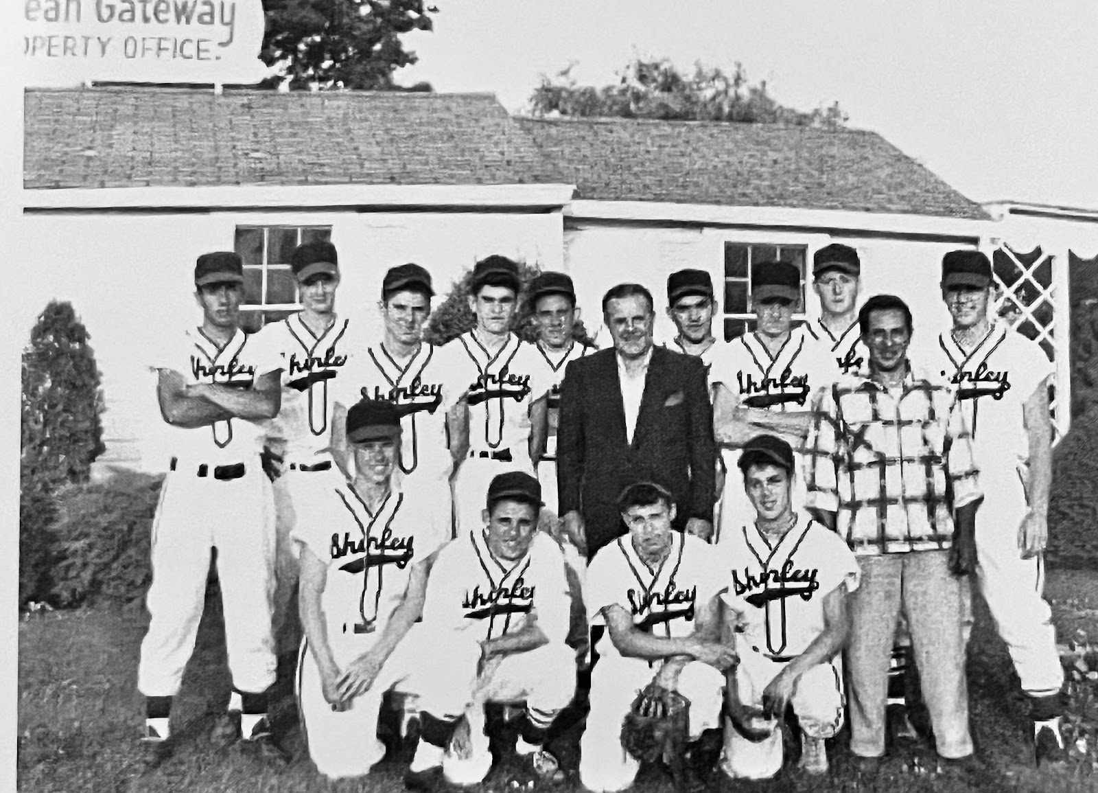
Walter T. Shirley poses with the Shirley Baseball Team in front of his Shirley Land Office. Credit: Mastics-Moriches-Shirley Community Library.
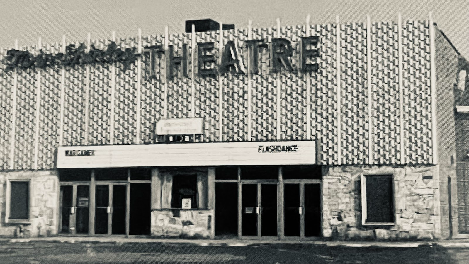
Residents enjoyed the Twin Shirley Theatre, located on the northwest corner of Montauk Highway and William Floyd Parkway, until it closed in the 1980s. Credit: Mastic Peninsula Historical Society.
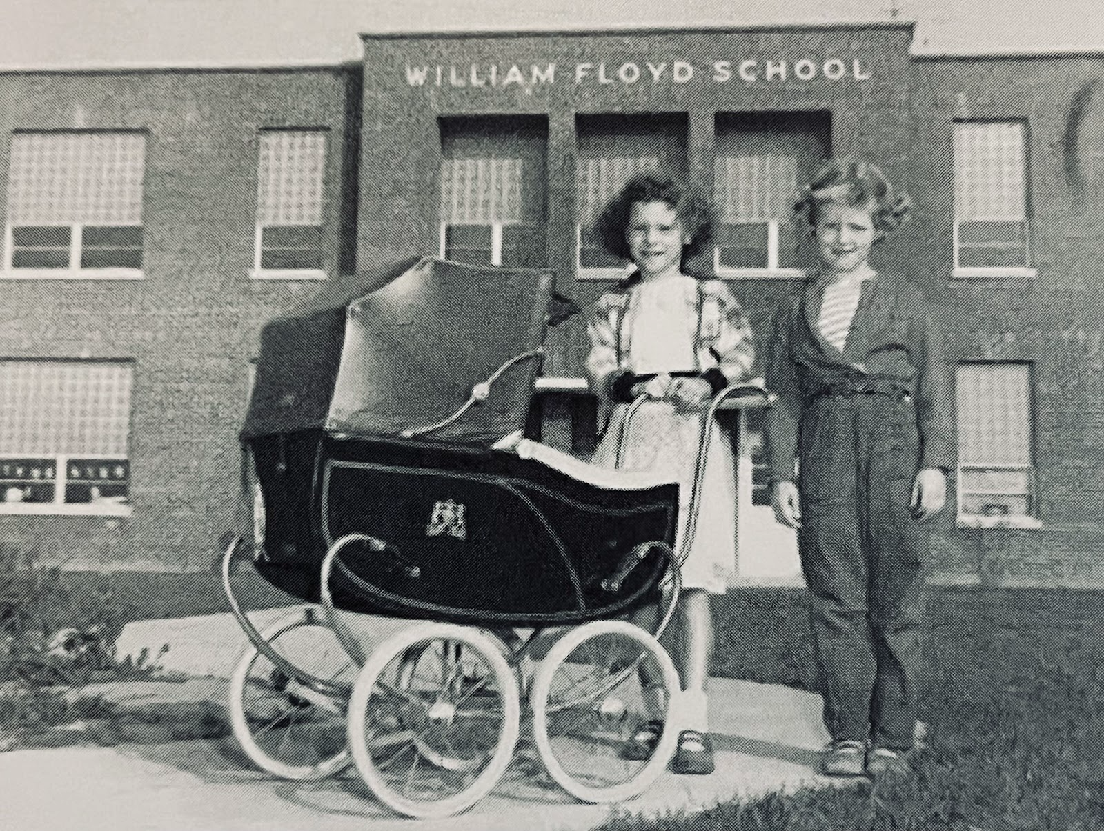
The first school on the Mastic Peninsula was built on land donated by Walter T. Shirley. The first class to graduate from the high school was in 1960. Credit: The Trypuc Collection.
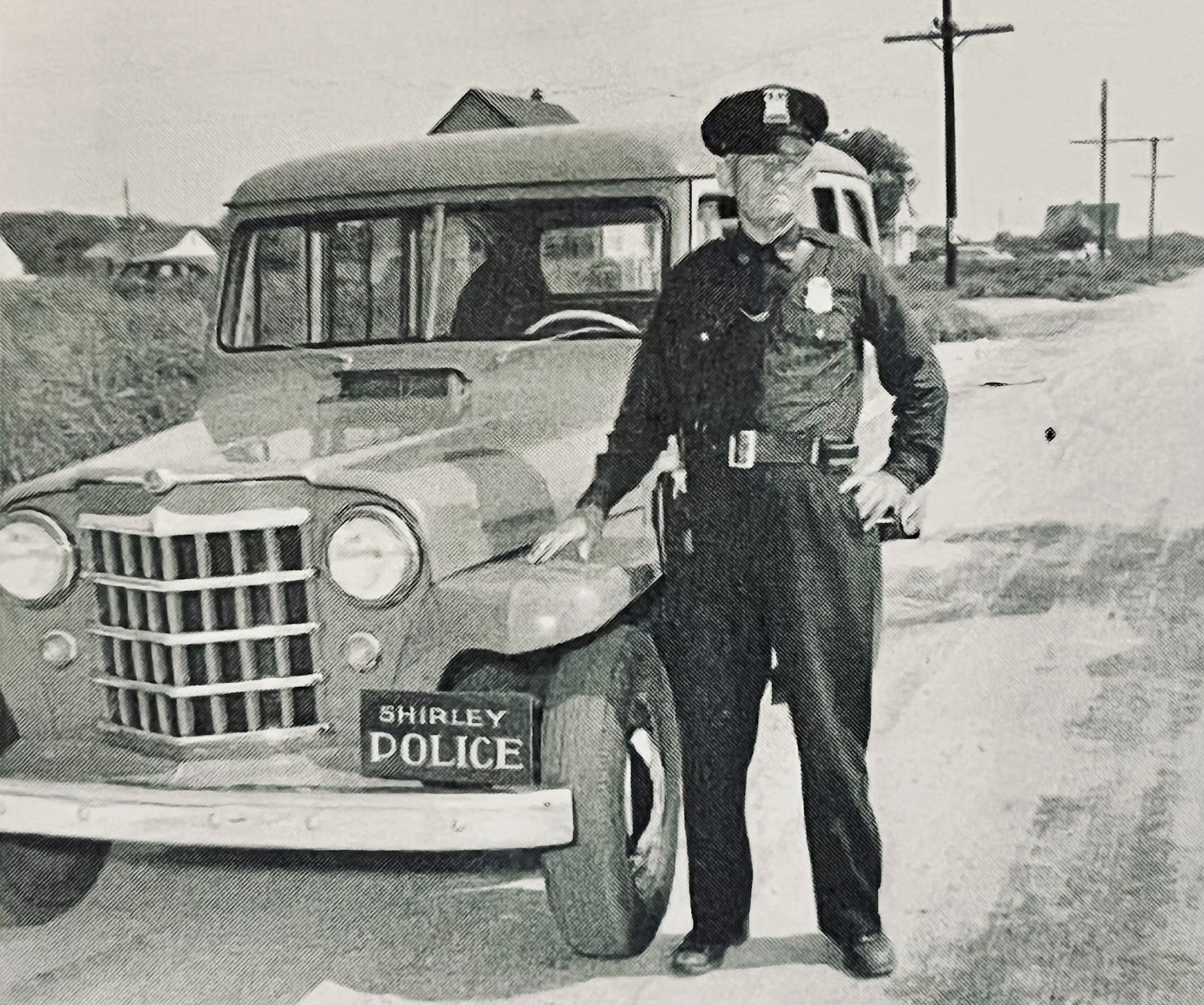
In the early days, Officer Fred Buchholz, was the only member of the Shirley Police Department patrolling the streets in his Jeep. Credit: Mastics- Moriches-Shirley Community Library.
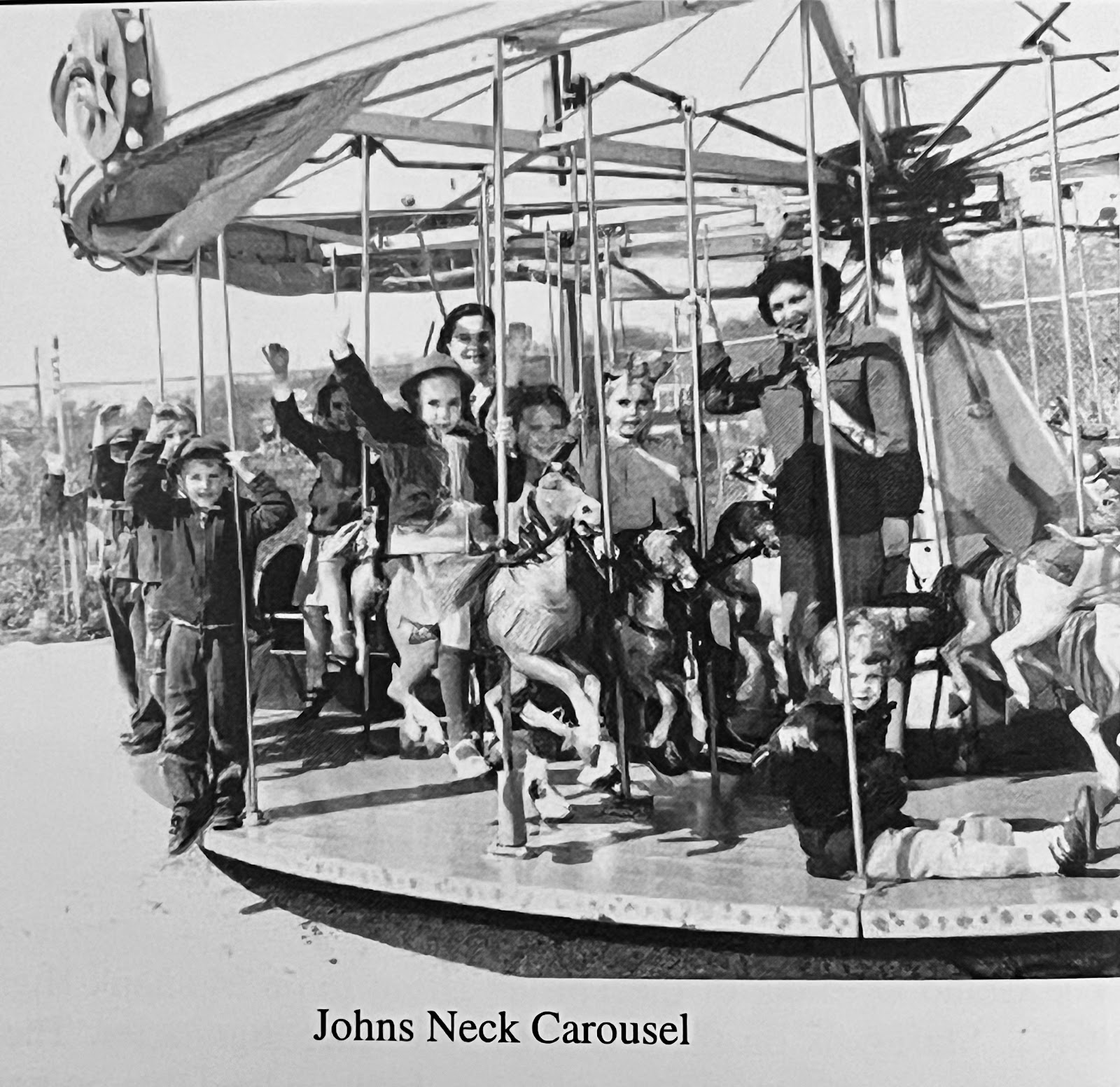
Shirley boasted a small amusement park with a carousel on Johns Neck Road and Palmetto Drive in Shirley. Credit: Mastics-Moriches-Shirley Community Library.
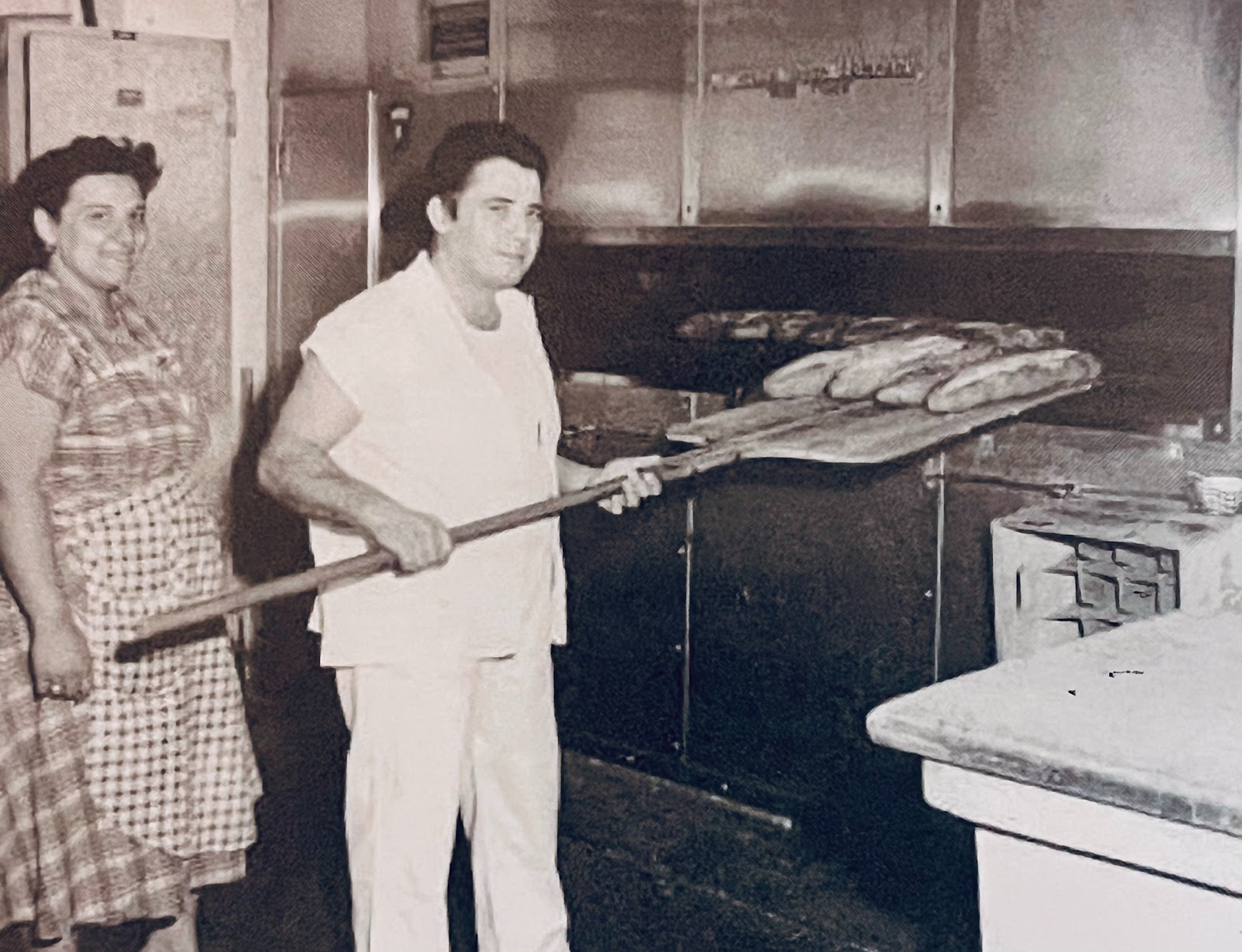
Famous for its Italian bread and pastries was the bakery on Surrey Circle operated by Nancy and Anthony Cacciola. Credit: Mastics-Moriches-Shirley Community Library.
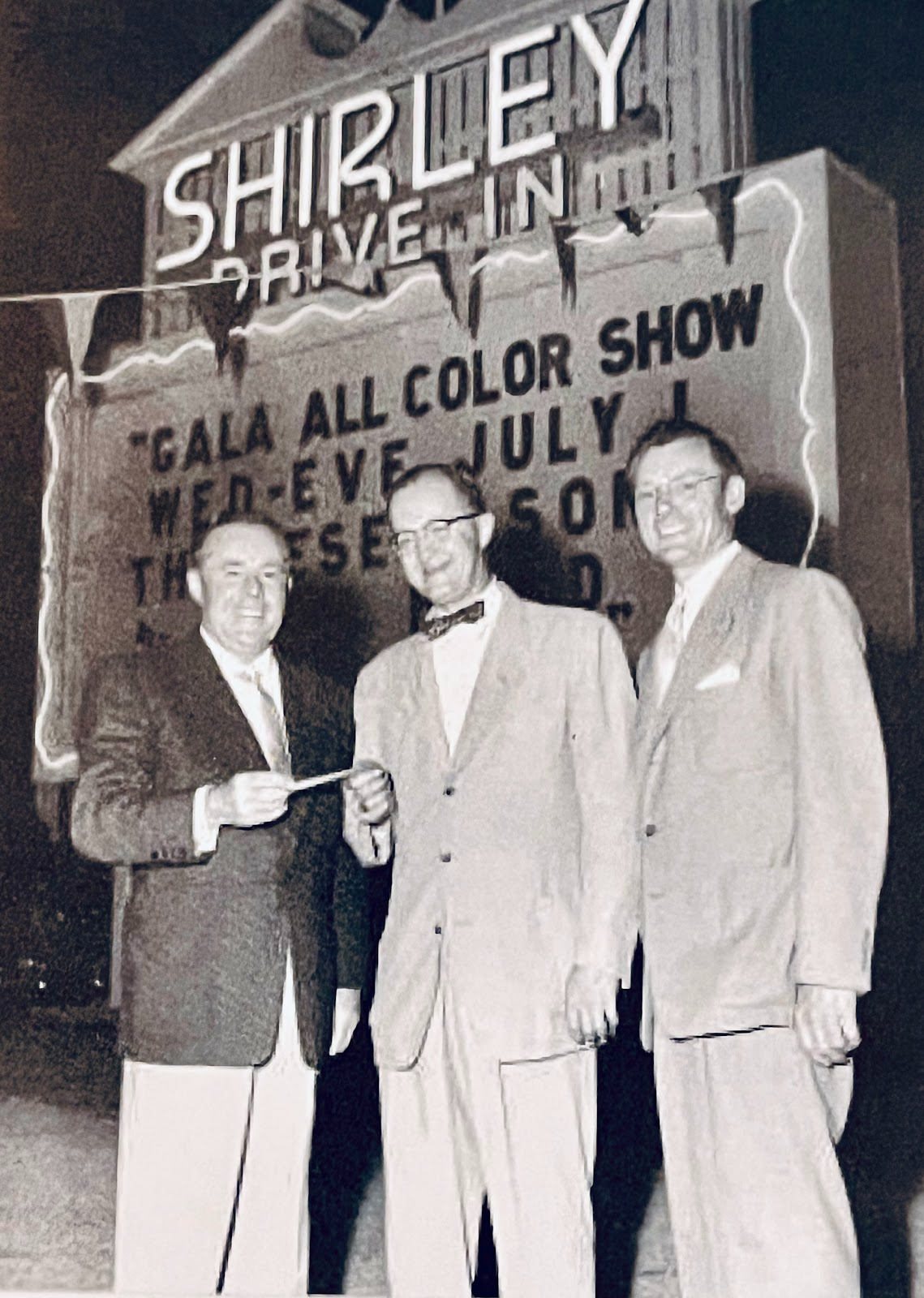
Walter T. Shirley at the Grand Opening of the Shirley Drive In on Montauk Highway on July 1, 1953. Closed in 1988, the drive in was built on a former horse farm and track. The space is now the South Port Shopping Center. Credit: Mastics-Moriches-Shirley Community Library.
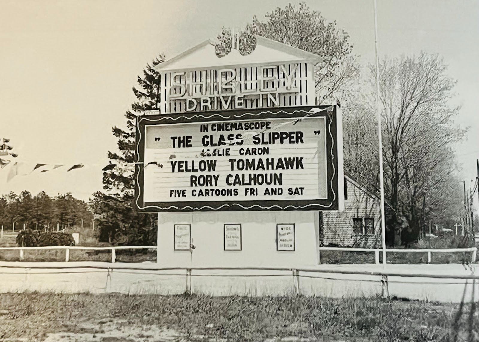
The Shirley Drive In marquee in 1955. Credit: Mastics-Moriches-Shirley Community Library.
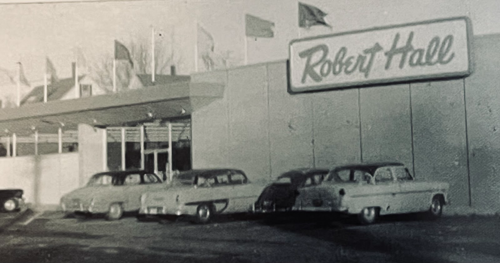
Robert Hall was a popular clothing store on the east side of William Floyd Parkway where the Chase Bank now stands. Credit: Mastic Peninsula Historical Society.
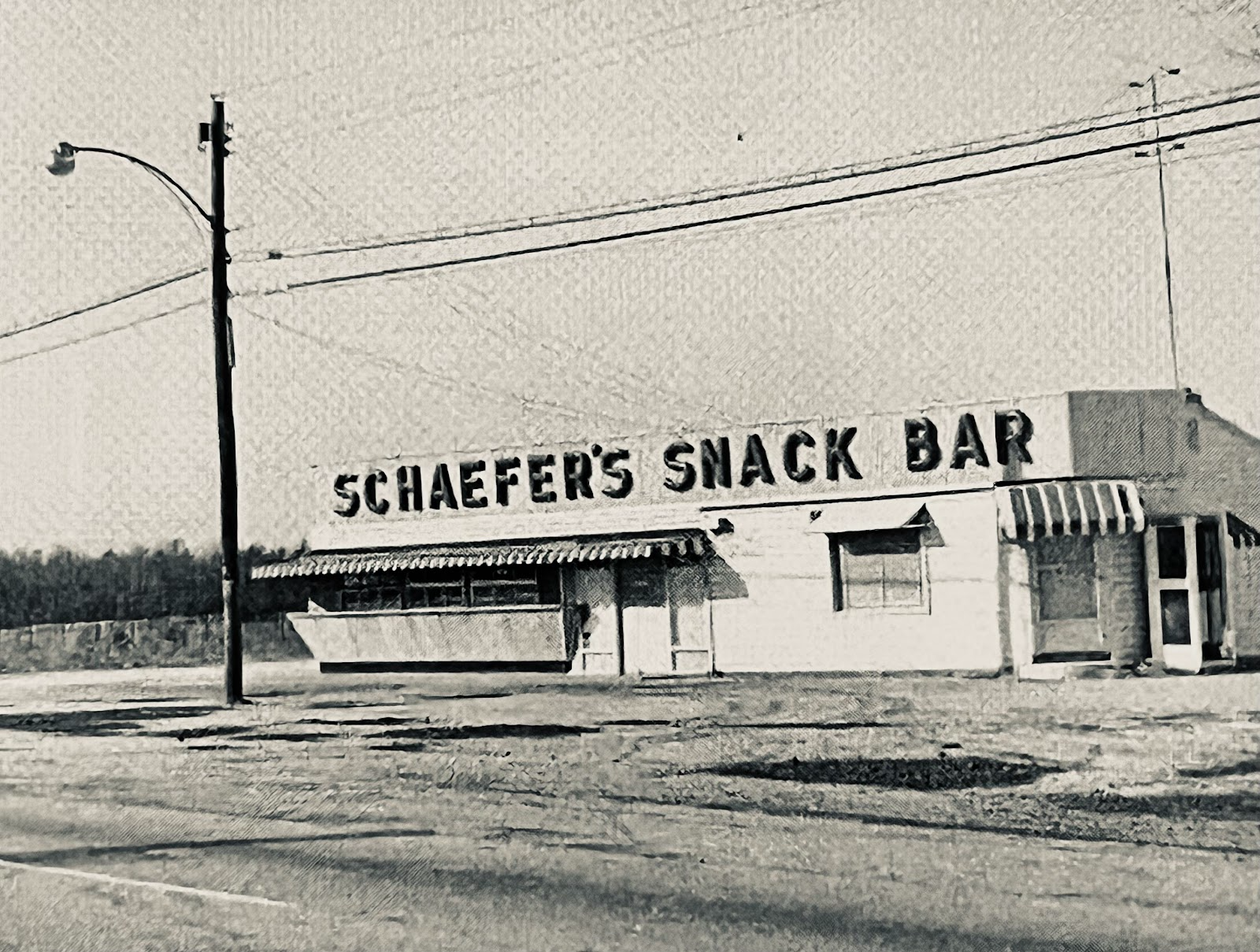
Schaefer's Snack Bar was on the northeast corner of Montauk Highway and William Floyd Parkway. Credit: Mastic Peninsula Historical Society.
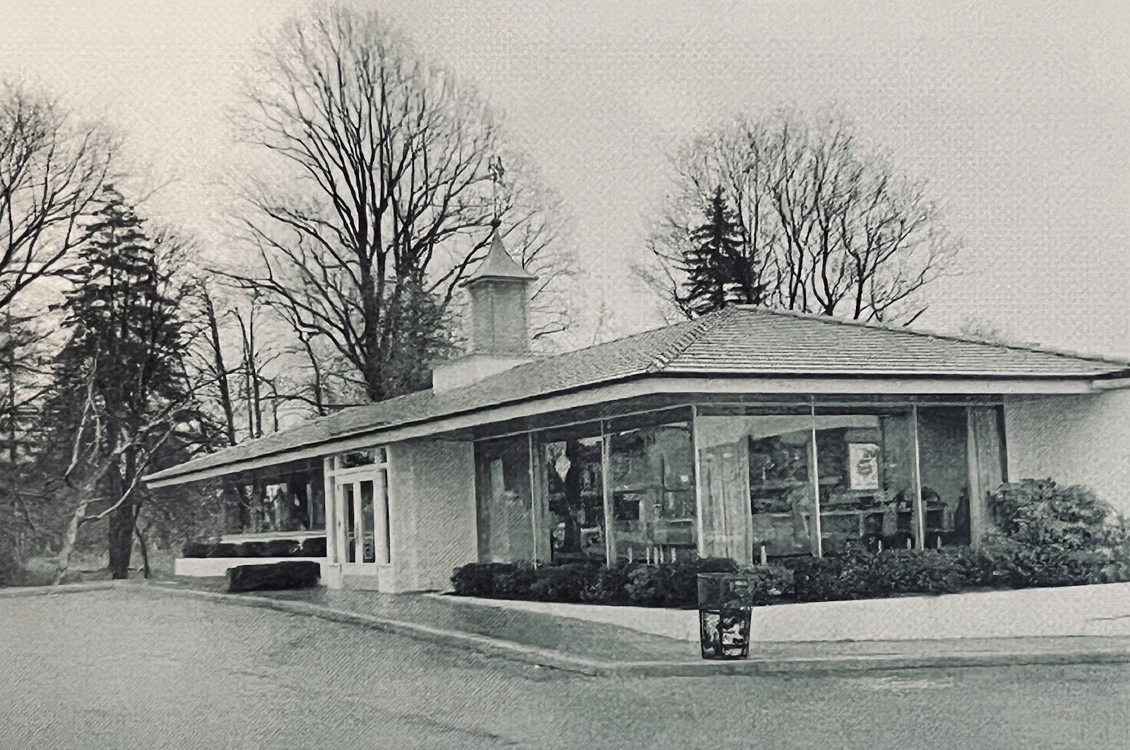
The famed Howard Johnson’s on the northwest corner of Montauk Highway and William Floyd Parkway served local residents for years. Credit: Mastics-Moriches-Shirley Community Library.
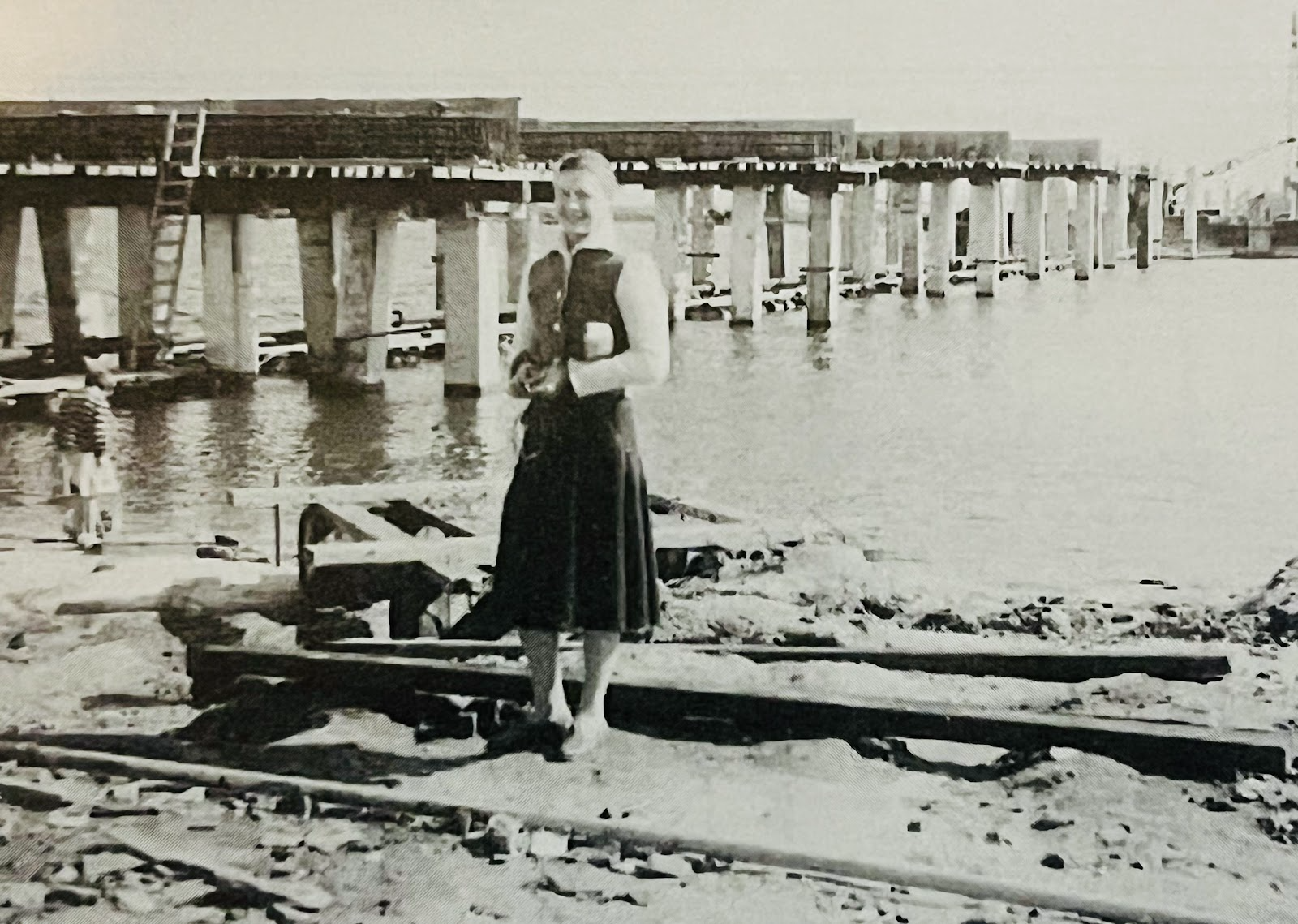
Bonnie Lynne Cabon, whose father worked for Walter T. Shirley, poses in front of the Smith Point Bridge while it was under construction. It was officially opened on July 4, 1959 to bring people to Smith Point County Park, which was previously Shirley Ocean Beach and could only be reached by ferry. Credit: Mastics-Moriches-Shirley Community Library.
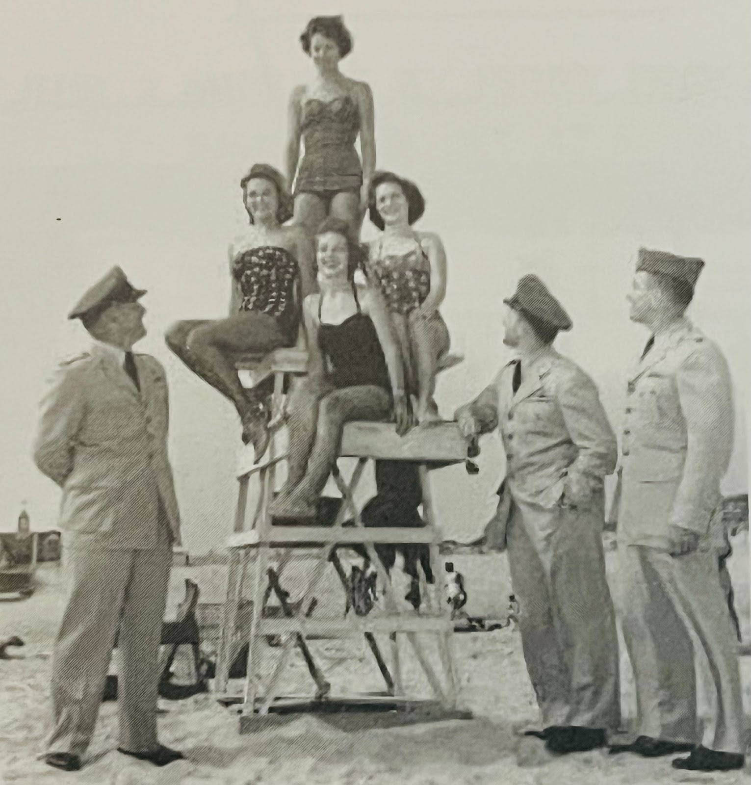
Miss Shirley contestants are admired by some men military men at Shirley Ocean Beach. Credit: Mastics-Moriches-Shirley Community Library.
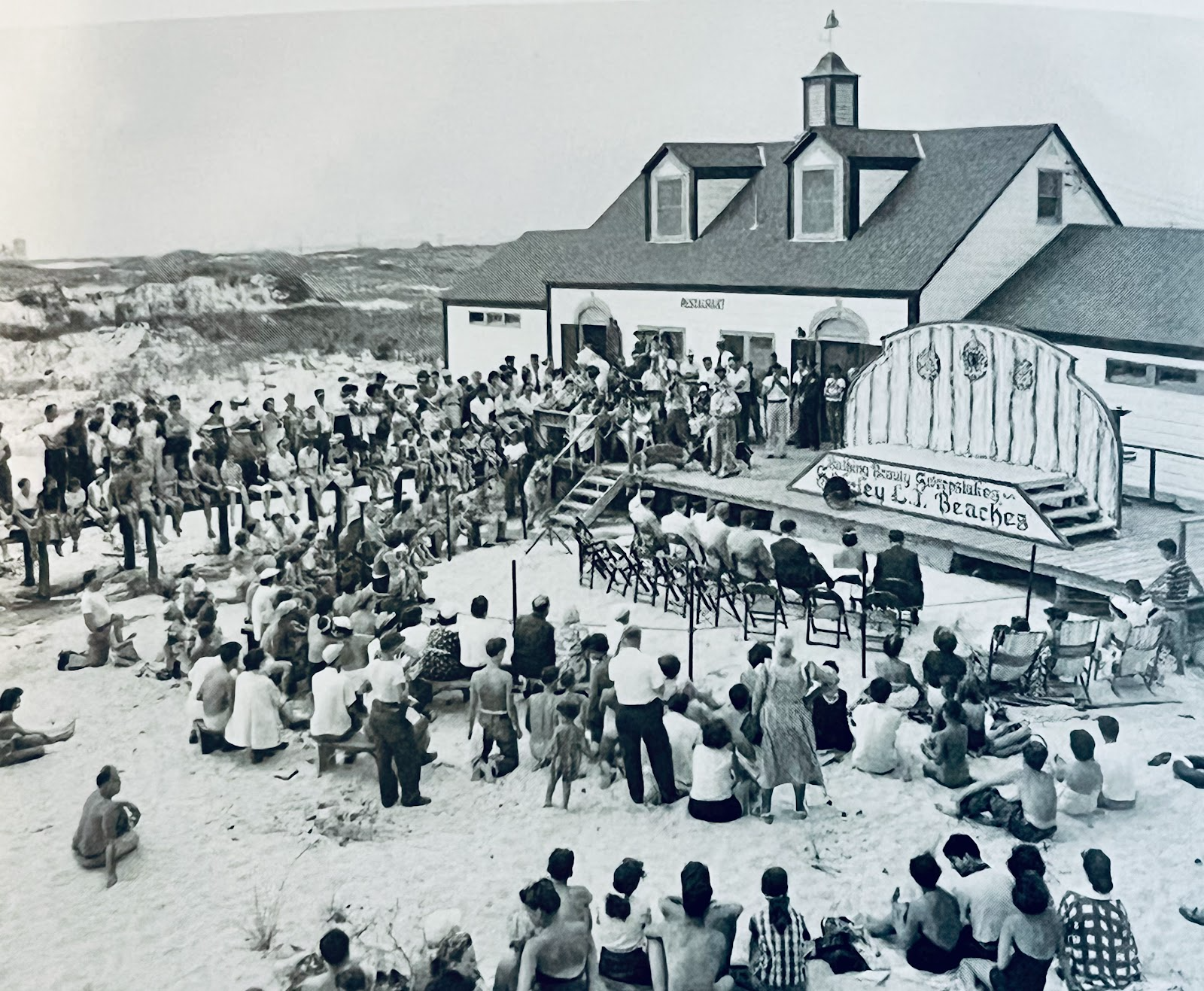
Shirley Ocean Beach was a popular destination accessed by ferry before the Smith Point Bridge was built. Here, they are waiting for the start of the Miss Shirley beauty contest. Credit: Mastics-Moriches-Shirley Community Library.
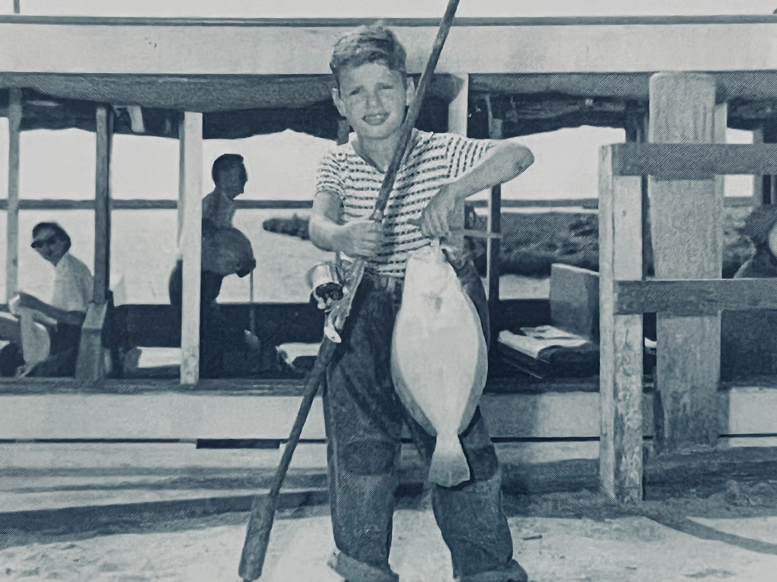
A young man poses at the Shirley Ferry dock with his fluke from Narrows Bay. Credit: The Trypuc Collection.
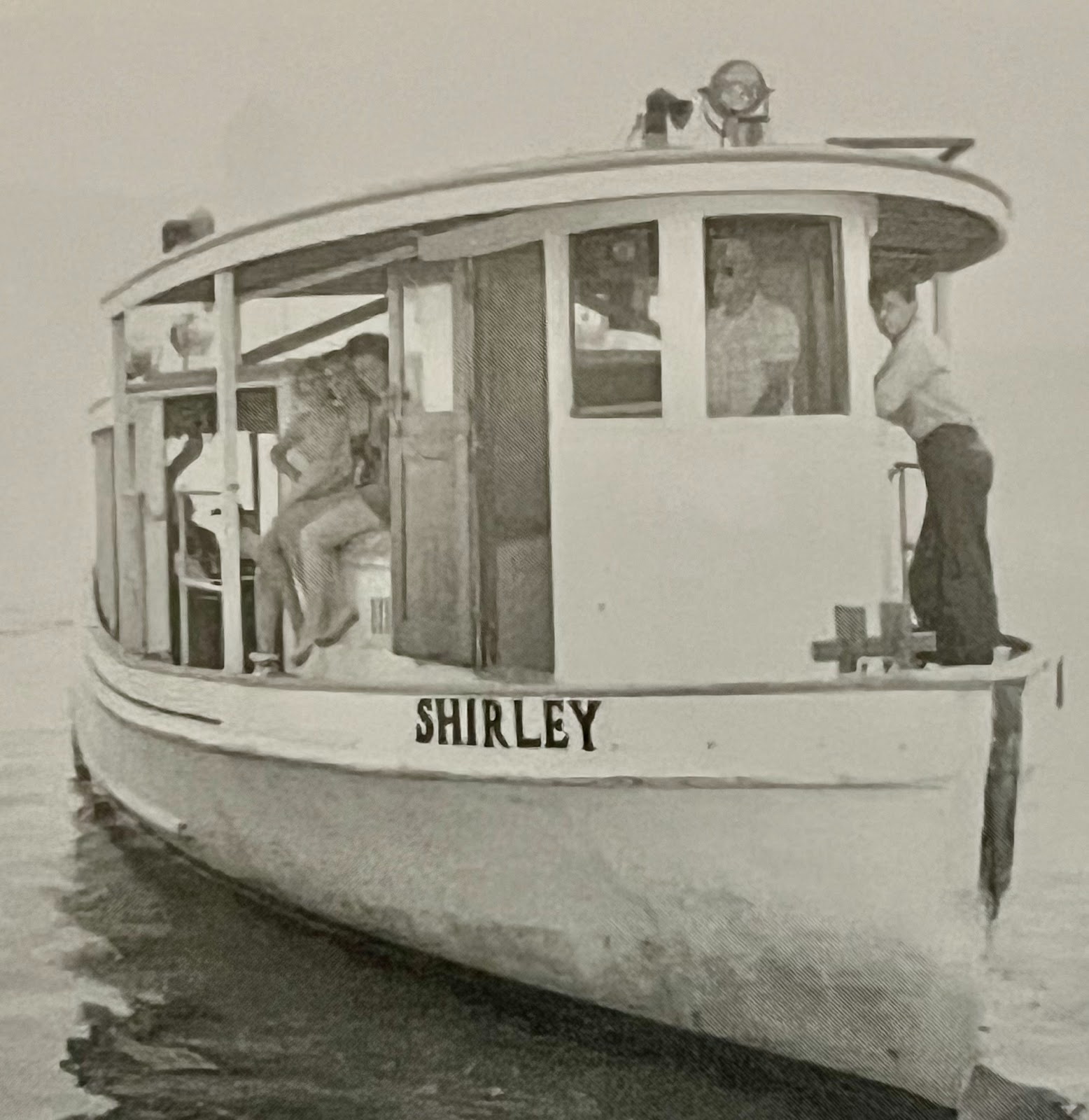
The Shirley Ferry carried residents to the ocean beach before the Smith Point Bridge opened in 1959. Credit: The Trypuc Collection.
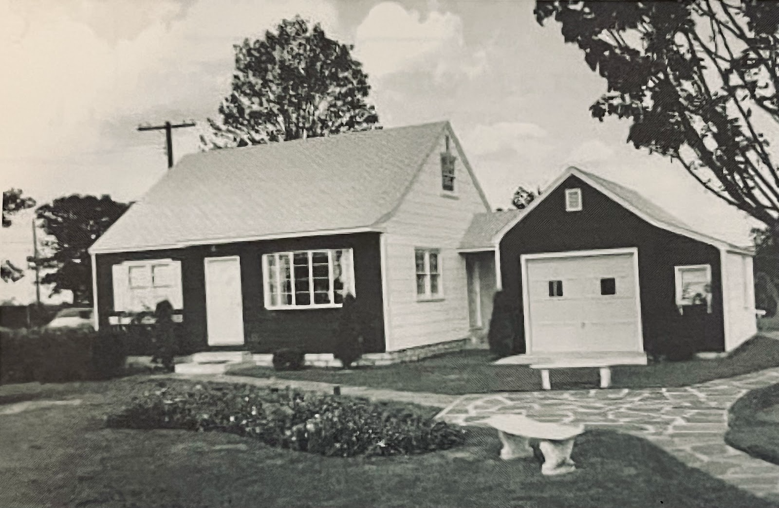
A home offered at the Shirley Model Village at the corner of Montauk Highway and William Floyd Parkway. The site included Walter T. Shirley’s sales office and a petting zoo for the kids. Credit: Mastics-Moriches-Shirley Community Library.
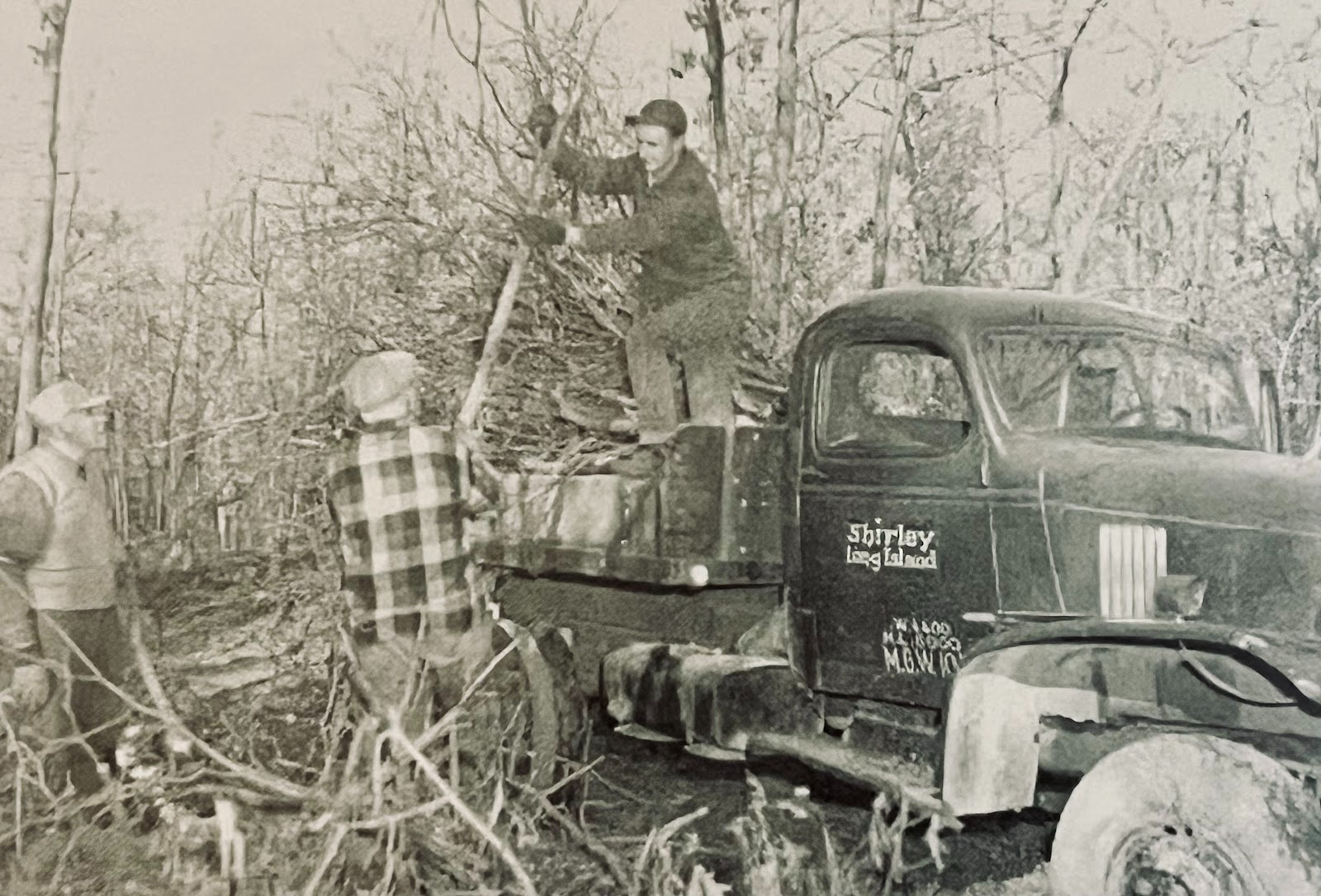
Clearing the land for the thousands of homes that would become Shirley. Credit: The Trypuc Collection.
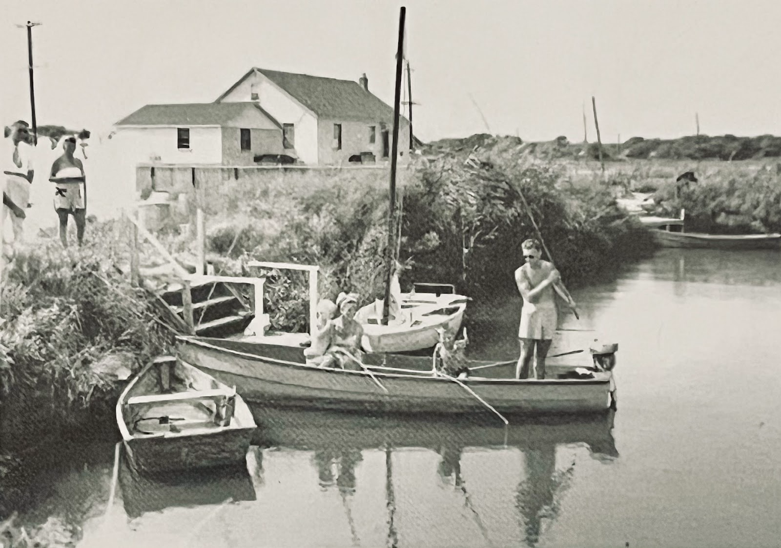
The Unkechaug Creek Canals gave Shirley residents access to Narrows Bay and then the Atlantic. Credit: The Trypuc collection.
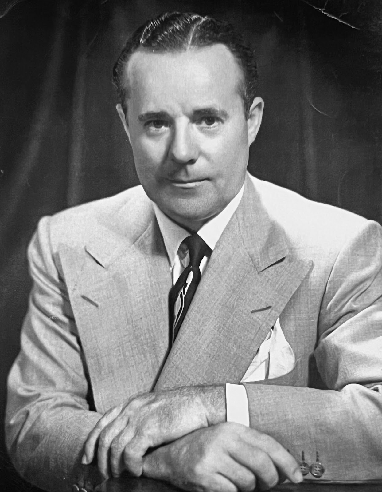
Walter T. Shirley, a former music promoter who had the vision to create the community that carries his name. Credit: Spooner Central.
